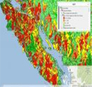
AIP - BC Watershed Statistics
The Aquatic Information Part nership (AIP) goal is to make aquatic related
BC Marine Conservation Analysis Atlas
British Columbia Marine Conservation Analysis (BCMCA) is a collaborative project designed
BC NGO Conservation Lands Atlas
This Atlas is now available for view at a new location on A DataBC web mappinglatest news
17 Apr
2023
2023
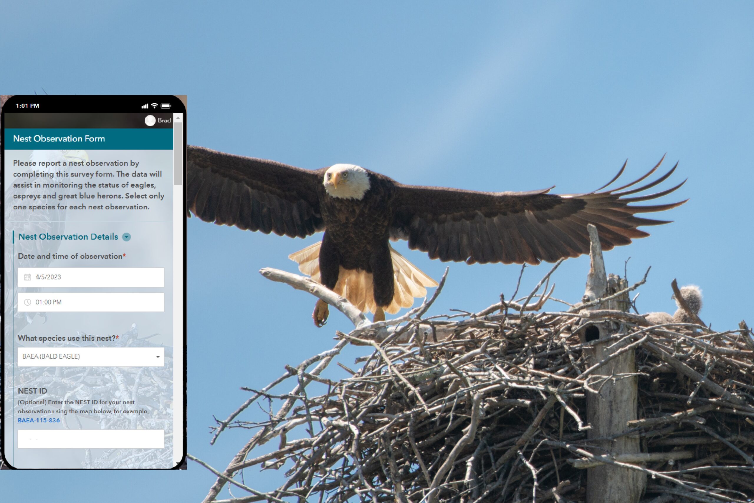
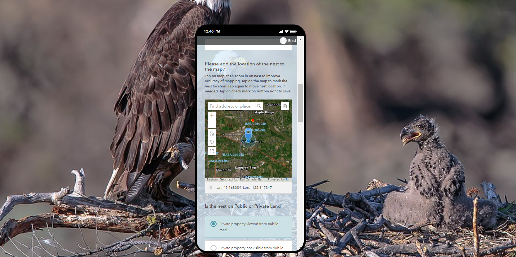
WiTS Mobile App. for citizen reports of new nests
The Community Mapping Network (CMN) has a new mobile app. to help the public...
Read More
16 Dec
2021
2021
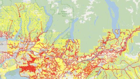
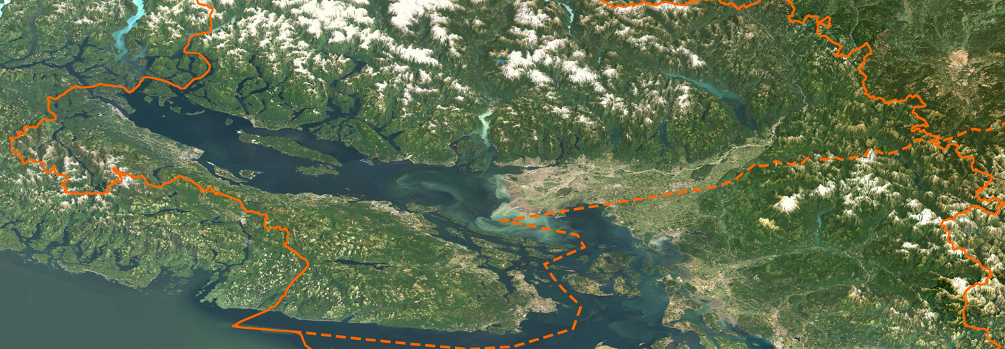
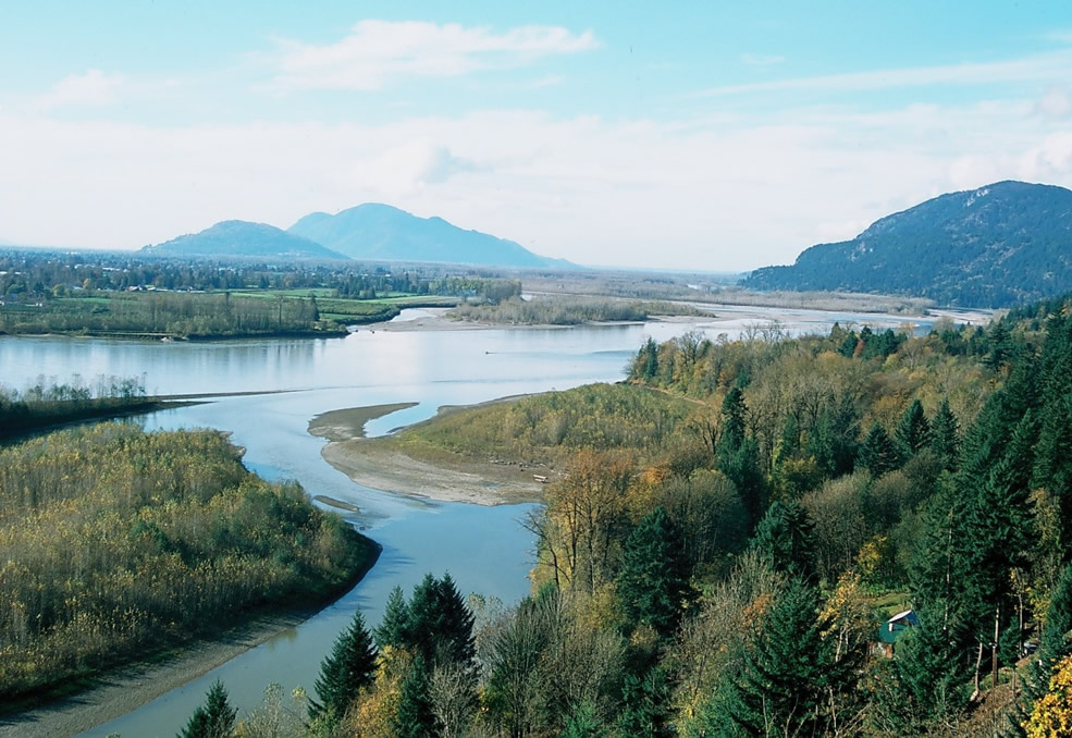
Lower Fraser Streams Update 2020/21
The CMN has recently completed an accurate map of watercourses across jurisdiction boundaries in the Fraser Valley....
Read More
19 Nov
2019
2019
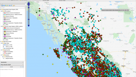
A Registry for Completed Stewardship Projects
CMN is building a Stewardship Project Registry that captures records of completed projects for many of the...
Read More
Funders, Sponsors & Partners
Funders, Sponsors & Partners

Project Watershed

LEPS

Friends of Semiahmoo Bay Society

SCRD
