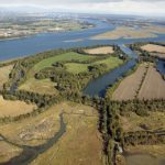
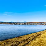
The CMN has recently completed an accurate map of watercourses across jurisdiction boundaries in the Fraser Valley. This mapping is critical for many activities including ditch maintenance, water quality issues and application of the BC Riparian Area Regulations. Detailed watercourse mapping is needed to prioritize fish habitat restoration projects for impacted habitat by decades of cumulative effects from human activities and to prioritize intact habitat for protection and conservation. This recent update is the most comprehensive compilation of watercourse mapping CMN has completed since first mapping small Fraser Valley streams in 2002. Mapping of the smallest of streams throughout the lower Fraser River Valley is needed to show the incremental loss of fish habitats. Many small watercourses have been lost or impacted by land use and development. This short video “LOST STREAMS” illustrates this an on going problem.
This two year project to update the Lower Fraser Streams was funded by the Environmental Damages Fund, administered by Environment Canada and Climate Change. The Community Mapping Network worked with the BC Conservation Foundation and the Fraser Valley Regional District to complete this update of all the small first order streams for the Lower Fraser River, Hope to the estuary.
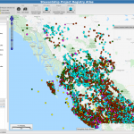
The red & yellow stream network on the SHIM Atlas shows the extent of the Lower Fraser Streams Update, viewed by zooming into the Fraser Valley and turning the layer groups shown in this screen image.

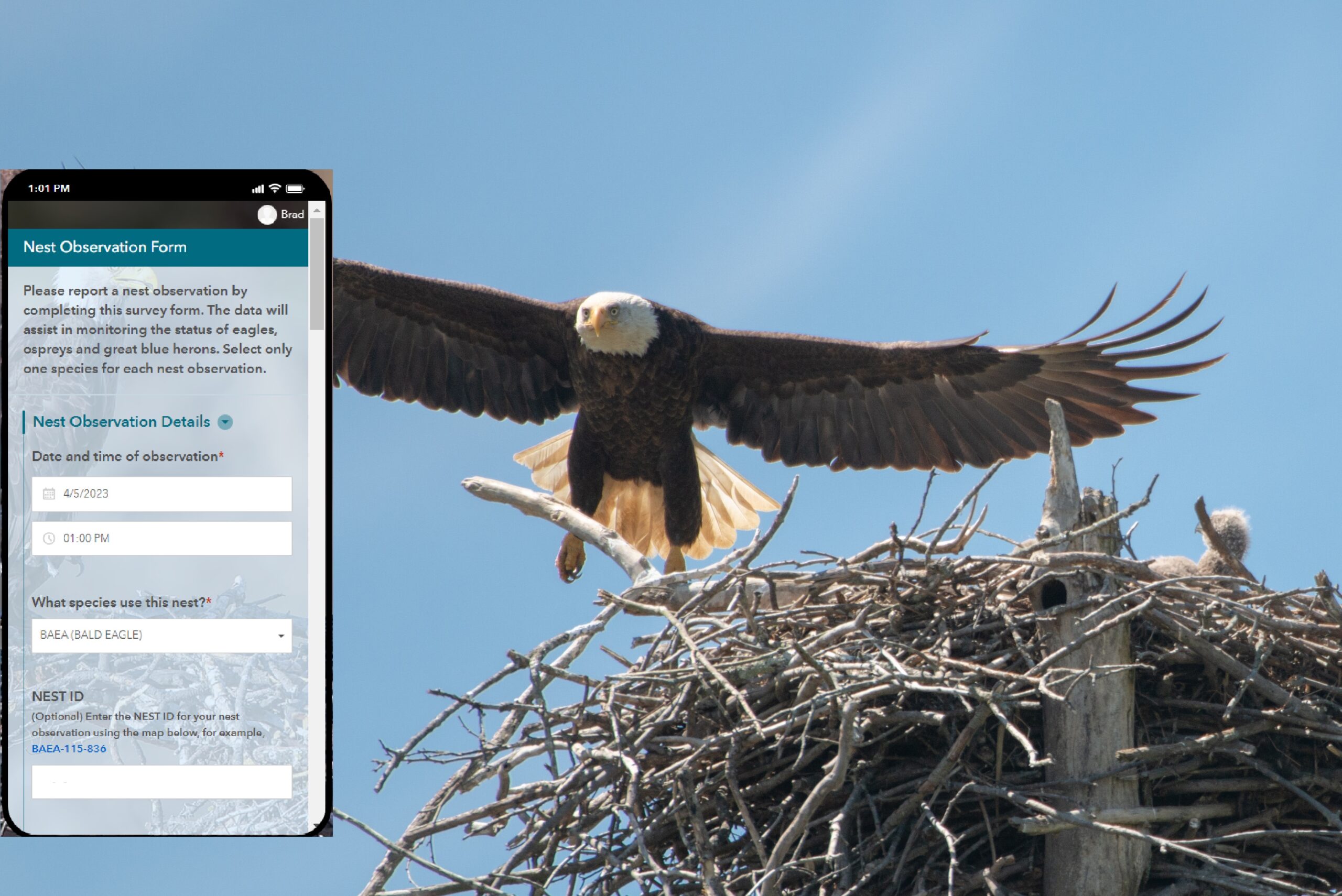
CMN used the BC Government documented Fish Observations data to mark streams with FISH along with local government “fish present” attributes to identify the RED FISH PRESENT streams. We also used LiDAR visually in some cases to help verify the location of a questionable watercourse which helped to prioritize areas where the field crew would visit. Field observations were limited to confirming stream location, flows and possibly fish observations using the ESRI Collector app. To view the attributes for any Updated Stream use the “Selection” tool (upper left in the SHIM map frame) and click/select a stream line. The attributes are displayed in a “Map Selection Window” (lower left).
An example of how these data are used is the “BC Agriculture Water Calculator”, developed by the “Partnership for Water Sustainability in BC”, linked here bcwatercalculator.ca/agriculture/welcome
The Streams Update data layer in the Water Calculator is provided by CMN as a Web Mapping Service (WMS) along with a second layer group for southern Vancouver Island based on SHIM methods. Many streams in both the Fraser Valley and the southern Vancouver Island were visited by field crews.