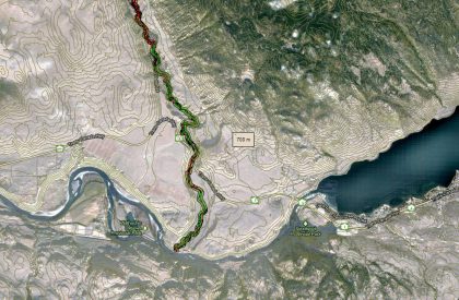
The purpose of the Deadman River Habitat Atlas is to provide baseline information for future decision-making about proposed shoreline developments and a detailed accounting of existing shoreline development. The project will help agencies identify and monitor the ecological condition of the shoreline, evaluate resource values and explore conservation and restoration opportunities associated with shoreline habitats. This information will be useful for local, regional, provincial, and federal organizations when assessing development issues related to shoreline habitats. The project provides agencies and the public with an easily accessible source of map-based information for the shoreline, including land use, shore type, existing riparian condition and anthropogenic alterations. It will aid in developing land use policies, regulations and standards and is intended to increase long-term capabilities for protection of aquatic and riparian habitat within existing local government land use planning programs. The project builds on existing information sources and will serve as a benchmark for regulatory agencies by documenting current foreshore conditions, providing evidence for regulatory investigations and monitoring objectives set out in foreshore protection initiatives. (Please note that the Deadman River SHIM final report below does not include appendices and maps).
Contact Organizations
Don Ignace Skeetchestn Indian Band
Phone: 250-373-2493
Toll Free: 1.866.373.2493
Email:[email protected]
http://www.skeetchestn.ca/
Brad Mason, CMN Director
[email protected]